Mapping Cameras with OpenStreetMap's Web UI: Difference between revisions
From Mass Pirate Wiki
Jump to navigationJump to search
No edit summary |
No edit summary |
||
| Line 1: | Line 1: | ||
This is a quick tutorial on how to map surveillance cameras with [https://www.openstreetmap.org Open Street Map's] web interface. | This is a quick tutorial on how to map surveillance cameras with [https://www.openstreetmap.org Open Street Map's] web interface. | ||
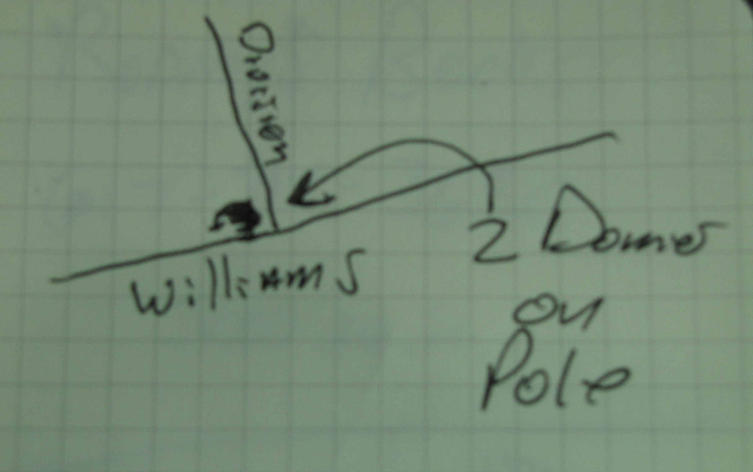
First, you'll need to find some surveillance cameras. I usually sketch them out in a small notebook. This is a sketch of two dome cameras on a telephone pole, at the Corner of Division St. and Williams St. in Chelsea Ma. | |||
[[Media:Two-domes-on-pole.jpg]] | |||
Revision as of 20:54, 9 September 2020
This is a quick tutorial on how to map surveillance cameras with Open Street Map's web interface.
First, you'll need to find some surveillance cameras. I usually sketch them out in a small notebook. This is a sketch of two dome cameras on a telephone pole, at the Corner of Division St. and Williams St. in Chelsea Ma.